Find Your Homestead County
Match 3,143 US counties to YOUR priorities. All scoring happens in your browser — we never see your search.
Client-side scoring — your queries never leave your device
How We Score 3,143 Counties
Every county gets scored across ten dimensions drawn from nine federal datasets. You control the weights — drag a slider to zero and that dimension disappears from your results entirely. Here's what each dimension measures and where the data comes from.
💧 Water Availability & Rights
Combines annual precipitation (NOAA 30-year normals) with each state's water law system. Prior appropriation states (the arid West) score lower than riparian states where landowners have stronger water access rights. Rainwater harvesting legality is factored in separately under Off-Grid Legality.
💰 Low Property Taxes
Annual property tax burden from Census ACS 5-year estimates, inverted so lower taxes produce higher scores. Counties with agricultural assessment programs (ag exemptions) often appear here even in high-tax states — worth verifying locally before you buy.
🏗 Minimal Building Codes
Whether the state has adopted the International Residential Code statewide, combined with rural population density as a proxy for local enforcement. Rural counties in non-IRC states give you the most latitude for alternative construction methods.
🌱 Long Growing Season
Frost-free days per year from NOAA Climate Normals, paired with USDA Plant Hardiness Zone. A longer growing season means more food production windows and lower heating costs. The Mountain West trades growing days for water; the Gulf Coast trades them for humidity.
🏡 Affordable Land
Median home value from Census ACS as a county-level land cost proxy, inverted. Raw land prices aren't publicly reported at county scale, so home value correlates well with land market pressure. Low scores here often mean low population density and fewer services.
🎯 Gun-Friendly Laws
State-level constitutional carry status, open carry rules, and NFA item restrictions (suppressors, SBRs). This is a state-level score applied uniformly to all counties in a state — county sheriffs can influence enforcement posture but not the underlying law.
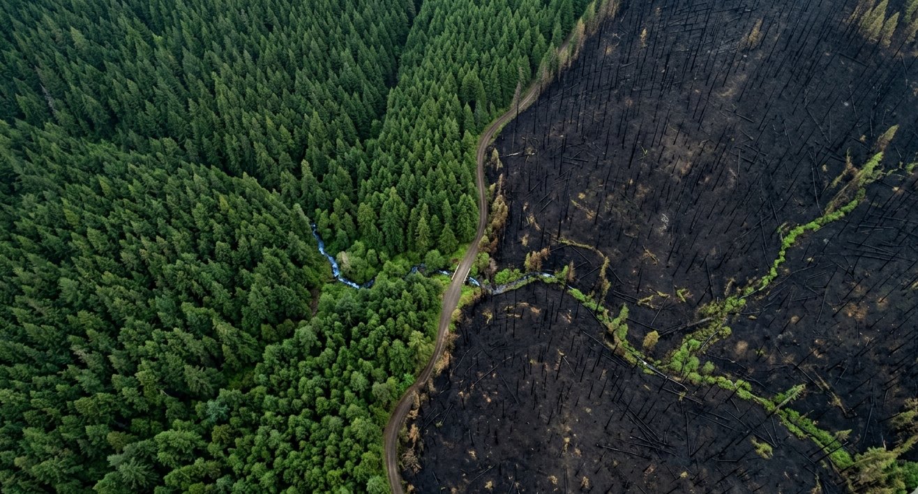
🌪 Low Natural Disaster Risk
FEMA National Risk Index composite score covering 18 hazard types: tornado, hurricane, flood, wildfire, earthquake, hail, lightning, winter storm, and more. Counties are scored relative to national percentiles, not absolute risk — a "Very Low" county still faces some hazard.
☀️ Off-Grid Legality
Whether state law permits rainwater collection, composting toilets, and grid-tied solar net metering. Scored from verified state statutes — but zoning ordinances at the county or municipal level can override state permissiveness, so always check locally.
🛡 Low Crime
FBI Uniform Crime Report violent crime rate and property crime rate per 100,000 residents, combined and inverted. Rural counties frequently show the lowest rates. Note that UCR participation is voluntary — some counties have incomplete reporting.
☢️ Nuclear & Military Distance
Proximity penalty to nuclear power plants and major military installations. Many preparedness-focused buyers treat this as a tie-breaker rather than a primary filter — set the weight to zero if it's not a concern for your situation.
Scores are county-level averages from federal data. Individual parcels within a county vary significantly. Read our full methodology for normalization details, or explore our state-by-state guides for deeper regional analysis.
Loading county data...
What matters most to you?
Drag the sliders to set YOUR priorities. Different weights produce different rankings — there's no single "best."
Optional filters
Scores 3,143 counties in seconds, locally on your device
Top matches for YOUR priorities
Scores reflect your weights — click any county for details.
Found a county you like?
Get the full Homestead Intelligence Report for a specific property. We'll analyze the exact parcel — soil, water, solar, threats, and regulations.
Get Property Report — $79Detailed analysis for one specific address
How it works
County data is loaded once from our CDN as a static file. After that, every search runs locally on your device. We cannot see what you search for because your queries never leave your browser. Open methodology
Data sources
FEMA National Risk Index, Census Bureau ACS, NOAA Climate Normals, FBI UCR, FCC Broadband Map, NREL Solar Resource, CDC Lyme Surveillance, USDA APHIS, CMS Hospital Data.
Data last updated: —